AI-powered satellite intelligence
Panspectra's AI reads satellite imagery together with weather and other records to tell what is happening on the ground: what is growing, what is running, and what a storm has done to it.
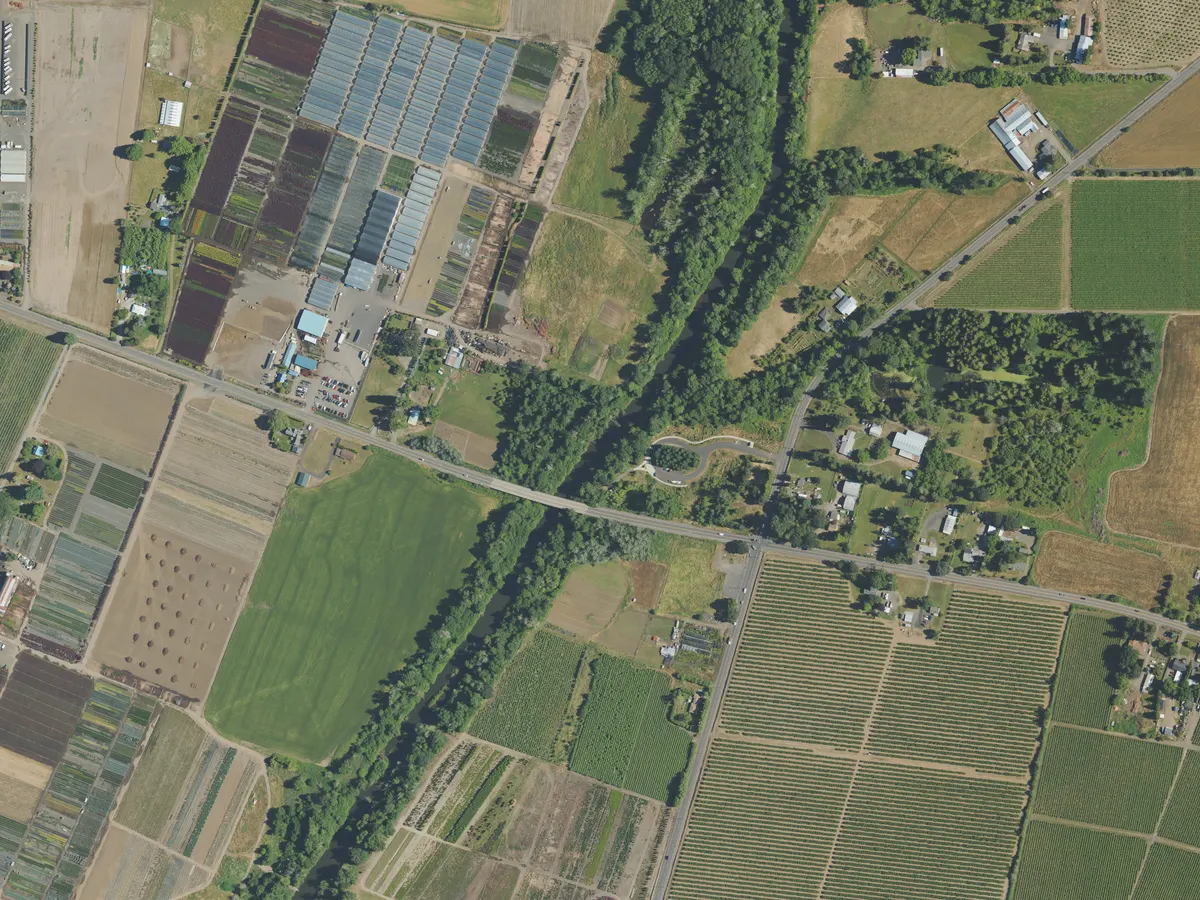 Orchard Pasture · 7.9 ha Greenhouses · 6.2 ha River corridor Buildings

Panspectra Ltd is participating in the ESA Business Incubation Centre UK
What we do
We answer precise questions about places on Earth, and say how sure we are.
Every source, read by AI
Optical, radar and thermal imagery from space, read together with weather, shipping and field records. Each source fills in what the others cannot see.
Questions, not pixels
We start from the question, such as whether a site is running or what a storm did to the fields, and answer it for one site or a whole region. Every kind of answer is tested against what actually happened.
Answers with error rates
Every answer states how often answers like it turn out wrong. When the evidence is too thin, we say we cannot tell.
A record you can check
Every answer is dated and kept as it was issued, so its track record can be checked against what happened later.
Have a question about a place?
Tell us what you need to know, and where. We will tell you whether we can answer it, and how sure the answer can be.